DMatlas key features
Knowledge-driven modeling
In situations where field data is lacking, such as in early stages of reservoir development, after multiple production phases, or when there are barriers to accessing detailed reservoir information, it is both possible and advisable to conduct geological modeling based on an understanding of the reservoir conditions or limited data available. In scenarios where "hard data" like seismic or well logging data is scarce, geologists can leverage surface outcrop surveys, analysis of literature, and research to develop a certain level of understanding and insight into the regional sedimentary patterns and structural styles of the target area.
DMatlas has pioneered a novel geological modeling approach that caters to such data-deficient scenarios.
This innovative method offers a flexible and efficient custom interactive mode, enabling the reconstruction of geological models that reflect the geologists' conceptualizations and interpretations, by integrating insights gained from field observations, literature studies, and existing knowledge.
Customized 3D Reservoir Modeling
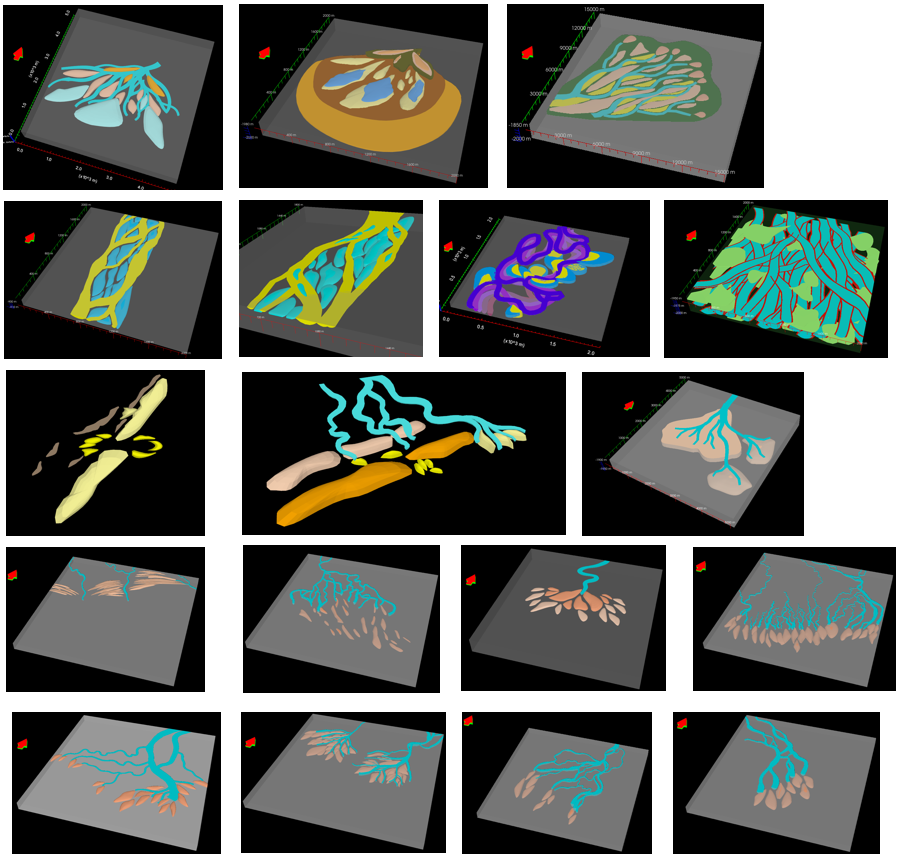
DMatlas provides two approaches of modeling sedimentary facies: customized modeling and stochastic modeling. Users could directly draw reservoir configuration units according to the principle of sedimentology and geological concepts. DMatlas supports three types of sediments modeling with different geometric characteristics:
(1) ribbon-like sediments (such as distributary channels, barrier islands, etc.)
(2) lenticular, sheet-like, and fan-shaped sediments with length-to-width ratios less than 3:1 (such as sheet sands, mouth bars, and carbonate reefs, etc.)
(3) specialized unit sand bodies with 3rd-level configuration interfaces (such as interbeds)


A novel object-based stochastic modeling method
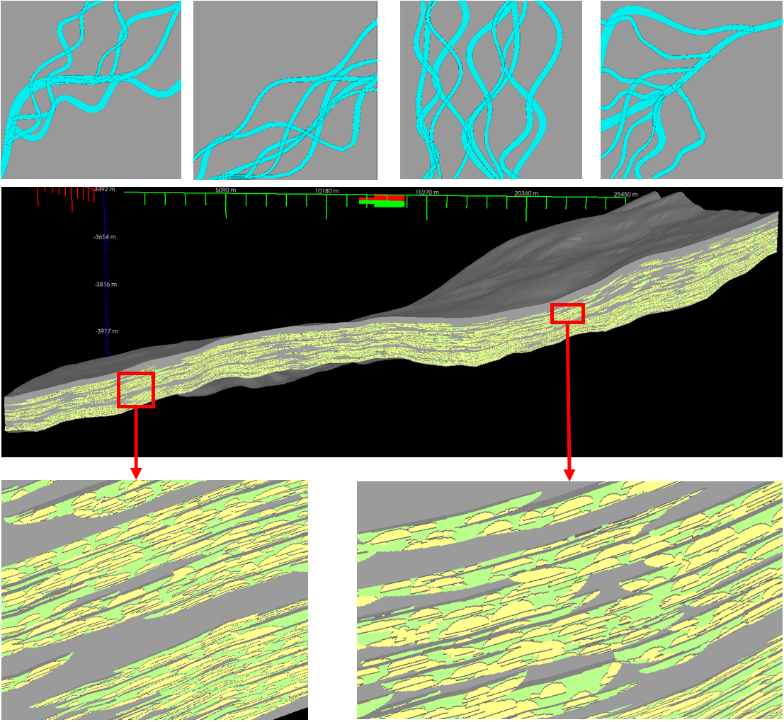
DMatlas customizes various geological bodies' authentic geometric shapes by setting modeling unit geometry and spatial distribution parameters. Constrained by sedimentary laws, this approach aims to replicate the understanding and insights of geologists, showcasing the spatial geometric characteristics, internal attribute features, and interrelationships of geological elements such as strata, rock formations, and structures within sedimentary conditions. By doing so, DMatlas effectively represents the spatial heterogeneities at various levels of reservoir units, providing a comprehensive depiction of the complex geological features present in the subsurface environment.
Extracting primary structural deformation elements
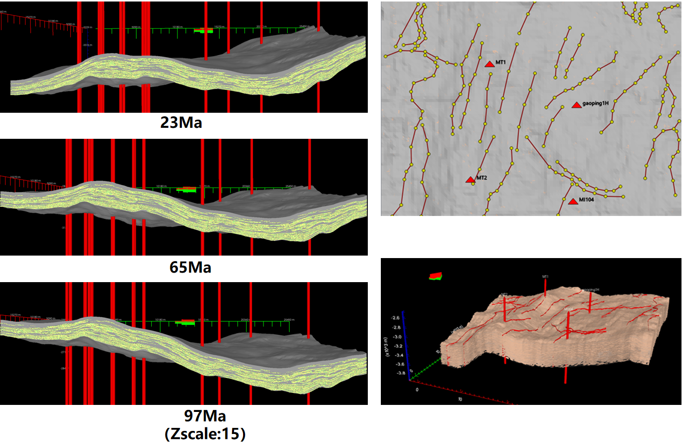
Given well-seismic stratification, extracting primary structural deformation elements facilitates achieving the structural deformation characteristics of the target modeling area. It can significantly reduce the time required for initial data preparation, offering geologists the possibility of rapid modeling and manual delineation of sand bodies. The method's independence from extensive gridded data for structural frameworks not only diminishes hardware requirements like memory space and CPU usage but also simplifies the modeling process. Additionally, maintaining the fidelity of geological body boundaries without pixelation makes the modeling process and 3D visualization more closely resemble actual geological sedimentary processes.

Based on statistical data, reservoir property modeling can be efficiently conducted for various reservoirs, lithofacies/sedimentary facies, and local areas, encompassing porosity and permeability modeling for each layer. This modeling process not only addresses different lithofacies/sedimentary facies but also offers robust validation capabilities.
